Available in Responder Explorer.
This tool allows you to indicate where a hazard exists and associate that location with an incident in the vicinity. An incident may have multiple hazards.
| Quick Steps |
|
Add Hazard
- Right-click an incident.
- Select Add Hazard.
- In ArcMap, click the feature on which the hazard exists.
- Modify the Edit New Hazard dialog.
- Click OK.
|
|
- Right-click an incident and select Add Hazard.
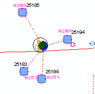
- In ArcMap, the cursor will appear as a circle with a blue dot in the middle (the blue dot snaps to devices and lines alike). The cursor snaps to any feature (network and non-network) that has the RXHAZARD model name assigned. Click the location at which the hazard exists.

|
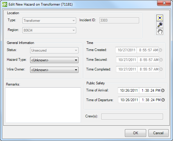
- The Edit New Hazard dialog displays information about the hazard. Only fields displayed in white may be edited. Modify the Hazard Type and Wire Owner.

- The Public Safety section allows you to specify whether public safety officers have arrived at the scene. Indicate a time of arrival and, after the hazard has been eliminated, a time of departure.
- Use the Remarks field to enter all pertinent information.
- Click OK on the Edit New Hazard dialog to add the hazard to the selected incident in Responder Explorer. Multiple hazards may be added to a single incident.


